


For the first time, the City of Irvine studied the safest pedestrian and bicycle routes to Northwood as part of an update to its Suggested Routes to School program and will release finalized maps by the end of fall.
This map encompasses areas within a 30-minute walk to school and shows the locations of crossing guards, crosswalks and bike lanes, including a planned protected bike lane along Orchard Hills Drive. The maps will inform families which routes avoid high-capacity roads, while the study will help the city improve transportation infrastructure around schools.
“Some of our concerns and frustrations are parts of Portola and Wolf Trail,” principal Eric Keith said. “Those are city streets, and so we don’t have a lot of ability to control those things and make adjustments there. So for them, reaching out and offering to partner with us, I was very appreciative.”
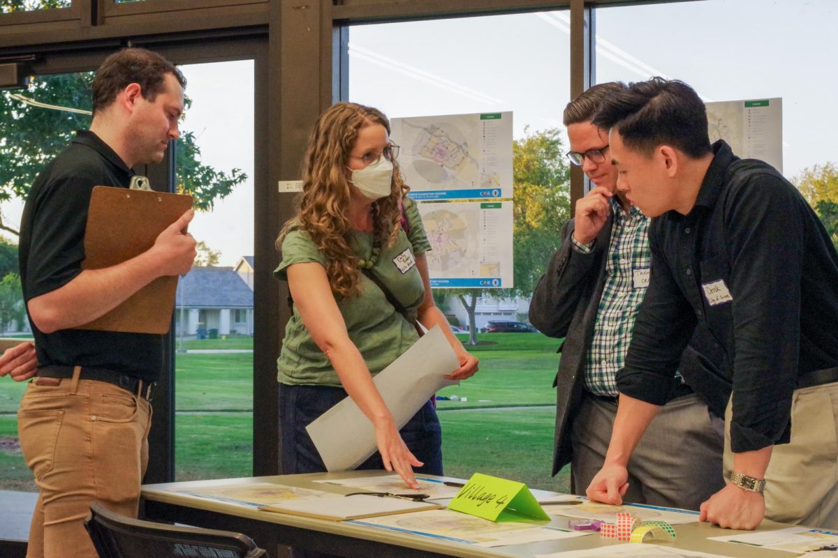
This year’s update, developed with civil engineering consultant CR Associates and the Irvine and Tustin school districts, redesigned the maps for easier use and expanded them to include all 45 public schools in Irvine.
“This isn’t something that happens very often in most cities,” city traffic engineer Brad Sommers said. “The maps incorporating cycling and showing the walkability border now is good. It’s modernizing the maps.”
CR Associates and city staff visited each newly included school to conduct mobility assessments by observing pick-up and drop-off. They also interviewed the principal of each school, used data from IUSD’s annual transportation survey and collected feedback on the draft maps during public workshops on May 21 and Sept. 4.
“It’s wonderful, because everyone’s really committed to improving access to schools for students,” said Lars Christiansen, CR Associates transportation planner and outreach specialist. “It’s also high-impact, because we’re talking about how people get to and from a place, and to do it in the most ideal way possible. So there’s a lot at stake.”
More information can be found at cityofirvine.org/transportation/suggested-routes-schools. Keith encourages families to reference the finalized Suggested Routes to School maps for pick-up and drop-off information once they are posted to the city’s website